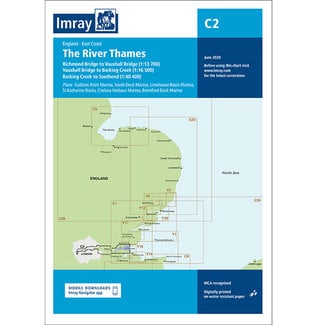
Admiralty SC5606 Thames Estuary Ramsgate to Canvey Island
British Admiralty Folio SC5606 - Thames Estuary Charts pack - British Admiralty Leisure Folio
Contains:
5606.1 Southern North Sea and Dover Strait 1:250,000
5606.2 Southern Thames Estuary 1:100,000
5606.3 Dover to Ramsgate 1:75,000
5606.4 Gull Stream to Princes Channel 1:50,000
5606.5 Princes Channel to Medway Approaches Channel 1:50,000
5606.6 Whitaker Channel to West Swin 1:50,000
5606.7 Havengore Bridge to Southend-on-Sea 1:25,000
5606.8 Southend-on-Sea to Canvey Island 1:25,000
5606.9 Medway Approach Channel 1:25,000
5606.10 Mouth of River Medway and West Swale 1:25,000
Ferry Reach 1:12,500
Ramsgate 1:5,000
5606.11 River Medway, Saltpan Reach to Chatham Reach 1:25,000
River Medway Rochester 1:12,500
Approaches to Ramsgate 1:12,500
5606.12 Shell Ness to Conyer Creek 1:25,000
River Medway Rochester Bridge to Wouldham 1:25,000
River Medway Wouldham to Lower Cut 1:25,000
Lower Cut to Allington Marina 1:25,000
River Medway Maidstone 1:25,000
5606.13 Hole Haven to Gravesend Reach 1:25,000
Hole Haven Creek 1:25,000
Thames Tidal Barrier 1:5,000
5606.14 Gravesend Reach to Erith Reach 1:25,000
Erith Reach to Hook Ness 1:25,000
5606.15 Hook Ness to Tower Bridge 1:12,500
Barking Creek 1:6,250
Bow Creek 1:6,250
Having an account with us will allow you to check out faster in the future, store multiple addresses, view and track your orders in your account, and more.
RegisterYou have no items in your shopping cart