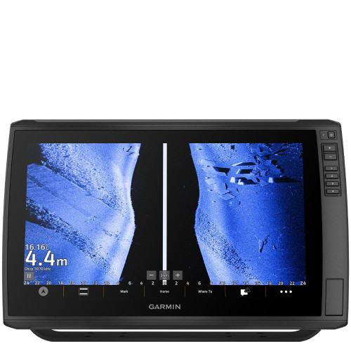
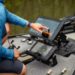
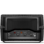
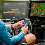
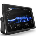
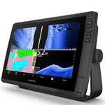
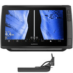
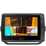
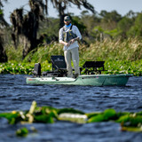
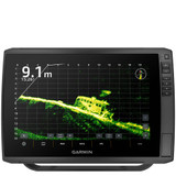
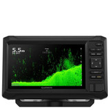
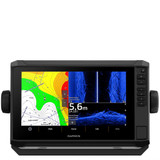
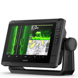
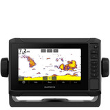
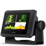
Designed for the serious angler, this versatile Garmin chartplotter puts a world of fishfinding capability at your fingertips. ULTRA 2 supports Garmin Navionics+ and Garmin Navionics Vision+ mapping, and the transducer bundle adds ultra high-definition scanning sonars, as well as CHIRP traditional sonar.
The Garmin chartplotter supports the full range of Garmin LiveScope live-scanning sonar systems (transducers sold separately), giving you real-time sonar imaging like never before. Enhance your on-water navigation with optional Garmin Navionics+ or Garmin Navionics Vision+ cartography (sold separately). These advanced maps offer integrated coastal and inland content, Auto Guidance+ technology, daily updates, depth range shading, and more.
With built-in HDMI output, you can easily share sonar views from your chartplotter to an external display or TV - perfect for ice fishing setups. Integrated Bluetooth technology allows for hands-free voice control over key functions such as Force trolling motor modes, sonar input, and more.
High-contrast, vivid sonar color palettes help you distinguish fish and structure with ease. You’ll also benefit from multi-band GPS for improved positioning accuracy, and compatibility with heading sensors, autopilot systems, Fusion-Link audio, and more. Stay connected on the water by pairing the ECHOMAP Ultra 2 with the free ActiveCaptain app. Access software updates, share screen recordings, download Quickdraw Community maps, and even record and share sonar imagery right from your smartphone.
Seamlessly control your Force trolling motor - navigate to waypoints, draw and follow custom routes, and operate with precision using wireless integration. Whether you're fishing offshore or navigating inland waters, ECHOMAP Ultra 2 delivers exceptional clarity, connectivity, and control.
What's In The Box?
ECHOMAP Ultra 162sv.
GT56UHD-TM transducer (Please select).
Power Cable.
Bail Mount With Quick Release Cradle.
Protective sun cover.
Hardware.
Documentation.
Technical Specifications:
General:
Dimensions: 43 x 26.6 x 8 cm (16.9″ x 10.5″ x 3.14″).
Weight: 4.31 kg (9.5 lbs).
Water rating: IPX7
Touchscreen: Yes.
Display Type: WXGA, IPS.
Display Size: 34.5 x 19.5 cm; 39.7 cm diagonal (13.6″ x 7.7″; 15.6″ diagonal).
Display Resolution: 1280 x 800 pixels.
Mounting Options: Bail or flush.
Input: Touchscreen with Keyed Assist.
Maps & Memory:
Accepts Data Cards: 2 microSD Cards.
Waypoints: 5000.
Track points: 50,000.
Tracks: 50 saved tracks.
Navigation Routes: 100.
Sensors:
GPS: Yes.
GLONASS: Yes.
Galileo: Yes.
BeiDou: Yes.
Has built-in receiver: Yes.
Receiver: 10 Hz.
NMEA 2000 compatible: Yes.
Supports WAAS: Yes.
Supports multi-band, multi-constellation GPS: Yes.
Optional Map Support:
BlueChart g3: Yes.
BlueChart g3 Vision: Yes.
Garmin Navionics+: Yes.
Garmin Navionics Vision+: Yes.
TOPO 100K: Yes.
Standard Mapping: Yes.
Garmin Quickdraw Contours: Yes.
Chartplotter Features:
AIS: Yes.
DSC: Yes.
Supports Fusion-Link compatible radios: Yes.
ActiveCaptain Mobile Planning Compatible: Yes.
Sailing features: Yes.
Electrical Features:
Power Input: 9 to 18 Vdc.
Typical current draw at 12 Vdc: 3.9A.
Maximum current draw at 12 Vdc: 6.6A.
Maximum power usage at 10 Vdc: 48W.
SONAR Features & Specifications:
Displays sonar: Yes.
Power output: 600W.
Traditional sonar (dual frequency/beam): Built-in (single channel CHIRP, 70/83/200 kHz, L, M, H CHIRP).
ClearVü: Built-in 260/455/800/1000/1200 kHz.
SideVü: Built-in 260/455/800/1000/1200 kHz.
Panoptix sonar: Yes.
LiveScope: Yes.
Connections:
NMEA 2000 ports: 1
Garmin Marine Network Ports: 2 (large connector)
12-pin transducer ports: 12-pin scanning sonar
ANT® (Connectivity): Yes.
Garmin Wi-Fi network (local connection): Yes.
