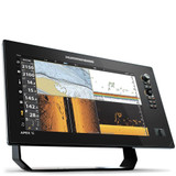
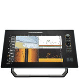
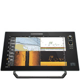
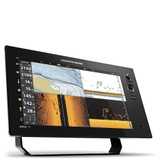
Humminbird's AutoChart charts for Europe use software that will take your Humminbird sonar recordings and GPS to build custom lake charts.
Create your own contour map on any lake in just three simple steps:
1. Record sonar data after inserting a blank SD card into your Humminbird combo.
2. Import your recordings into the AutoChart PC program and convert your survey into a map.
3. Export your map onto the Zero Lines Map Card (included) to display on any compatible Humminbird.
Zero Lines Map Card:
The zero line is the place where the water meets the shore, and also the starting point for building your own maps! Included with the AutoChart PC software is a 43GB map card that's loaded with Zero Lines for illions of water bodies in Europe. With these all-important Zero Lines as a foundation, you can create your own accurate and detailed maps of any fishing spot, even where contour coverage doesn't exist.
Once your AutoChart map is created, the only way to view the contours on a compatible Humminbird fishfinder is by loading them onto a Zero Lines map card.
Now use I-Pilot Link on any lake when you create contours with Humminbird AutoChart. Humminbird AutoChart enables you to use Minn Kota Pilot Link on previously unmapped bodies of water after you create contours with the revolutionary AutoChart PC Software. The i-Pilot Links innovative Follow the Contour feature will direct the trolling motor to follow a specific depth contour. The chosen contour line can be automatically followed in either direction, or stay a set distance from that contour or shoreline with Contour Offset.
Minimum PC Requirements:
512MB Ram.
10GB Free hard drive.
DVD-ROM Drive (1024MB RAM Recommended).
Please Note:
Do NOT delete or change the AC folder, LkMaster folder, or SI folder on the ZeroLine Map Card. Removing or changing these folders will permanently damage the ZeroLine Map Card.


