-
Sold Out

-
Sold Out

-
On Sale!

Reeds
PC0982-AF-30/MP
Reeds Nautical Almanac Looseleaf Update Pack 2027
RRP £45.00Was £39.95Now £37.95 -


Ritchie
WA2499-AFRR-18
Ritchie Helmsman HB-741 Bracket Mount Direct Read Compass
RRP £349.20£276.99 -


-


-
Sold Out

-
Sold Out

-
Sold Out

Ritchie
WA2505-AFRR-18
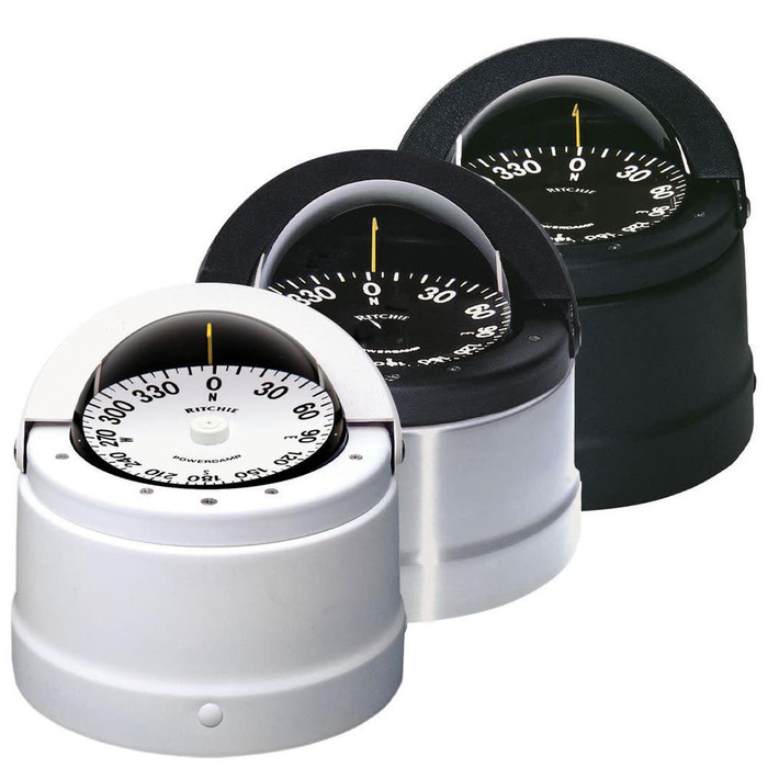
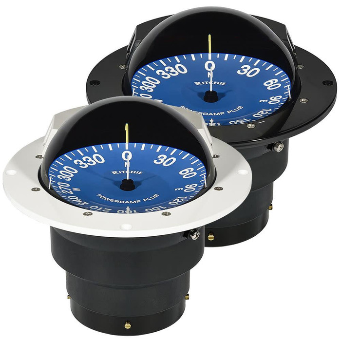
Ritchie Supersport Powerdamp Plus 4 1/2" Flush Mount Compass White
RRP £873.37£692.31 -

-
Sold Out
-
Sold Out


-
Sold Out

-
Sold Out
-
Sold Out

-
Sold Out
-
CLEARANCE


-
CLEARANCE

-
Sold Out

-
Sold Out

-
Sold Out

-
Sold Out

-
Sold OutCLEARANCE
-
Sold Out

-
-
Sold Out

-
Sold Out


-
Sold Out


-
Sold Out
-
Sold Out

-
Sold Out

-

-
Sold Out


Navigation & Books
A passage often starts with a question: when will the tide turn, which chart covers the approach, or what should you know before entering an unfamiliar harbour? The right answer may be in an almanac, a pilot book, a chart or a quick note made at the chart table. Pirates Cave’s Navigation & Books range brings those resources together with compasses, binoculars and other practical navigation tools for sailors and motor boaters. It is a place to prepare for the next trip, replace a well-used reference or build your knowledge between days on the water.
Books & Quick Reference
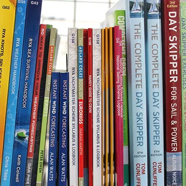
Some books are bought for a particular passage; others earn a permanent place aboard because you return to them whenever a question comes up. The books and quick reference range covers both. It includes publications for planning and pilotage, practical guides for learning new skills, and smaller references that are easier to reach for while underway.
Almanacs and pilot books for the places you sail
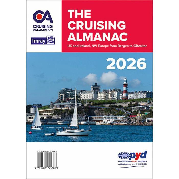
A nautical almanac is often one of the first books opened when a coastal trip begins to take shape. Depending on the publication, it can bring together tidal information, port details and other material you would otherwise have to find in several places. If you are replacing an old copy, pay attention to the edition year and its geographical coverage. Browse the almanacs with the waters you expect to visit in mind; a familiar title is only useful if it covers the passage you are planning.
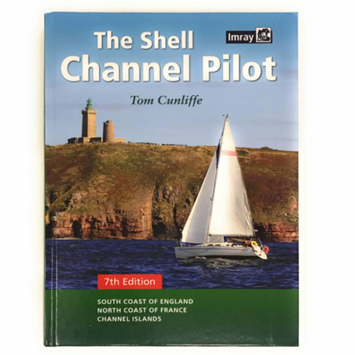
Pilot books answer a slightly different need. They provide regional information for approaching and visiting particular stretches of coast, harbours and cruising grounds. They can be especially valuable when the destination is new to you: the broad route may look simple on a chart, while the final approach calls for closer attention. Check that a pilot book covers the area you need and consult current charts, forecasts and local information alongside it.
There is no need to wait for a long cruise to make use of these references. A short trip to a new harbour still means considering the approach, an alternative destination and the tide at the time you expect to arrive. Keeping the relevant pages ready before departure makes them much more useful than searching through a book for the first time at the harbour entrance.
Guides for learning and for getting a job done
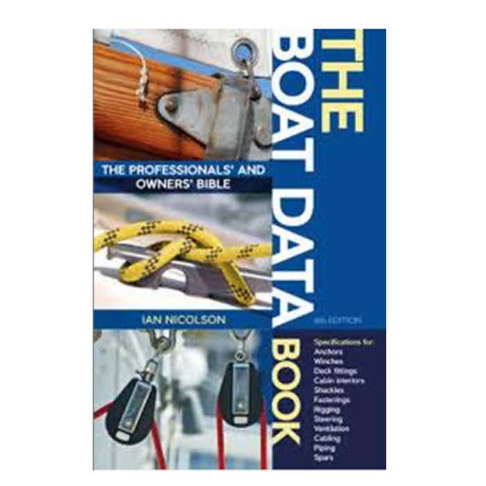
Navigation knowledge grows through practice, and a good explanation is worth returning to. The manuals and practical guides section covers subjects for boat owners who want to understand a task more thoroughly, whether they are studying at home or working through a question that arose on board. Choose by the subject you actually want to improve rather than collecting a shelf of books that never gets opened.
If you are following a course or refreshing skills learned some time ago, RYA books provide a familiar route into boating and navigation topics. Reeds handbooks offer another way to explore practical subjects in a format you can keep close to hand. A book that helps you work through one point you find difficult will usually see more use than a general reference chosen simply for its size.
There is room aboard for reading that has nothing to do with solving a problem, too. The bunkside reading collection is for quieter hours in the cabin or an evening after arriving. It sits alongside the instructional titles because time on a boat is about the journey as well as the work of preparing for it.
References and notes you can use underway
Even when you know a subject well, there are details you do not want to hunt for in a full-length manual. Quick reference cards are useful when a concise reminder makes more sense than a chapter of explanation. Course cards offer a compact place for navigation notes, while a sailing log book gives the passage a more lasting record.
What goes into a log depends on the trip and the person keeping it. Positions, times, conditions and changes of plan can all become useful later, whether you are reviewing how a passage went or trying to remember the details of an earlier visit. A regular record also makes it easier to see when expectations and what happened on the water began to differ.
For notes made where a conventional pad may get wet, the range includes wet notes. They are a small item, but having somewhere suitable to write down a bearing, instruction or observation can be more useful than trying to hold every detail in your head.
Charts & Tides
A chart gives the route its shape; tidal information helps you decide when to travel it. Both deserve a fresh look when the destination changes, even if you know the boat well. The charts and tides collection brings together paper charts, tidal atlases and tables for that planning work.
Choosing a paper chart for the passage
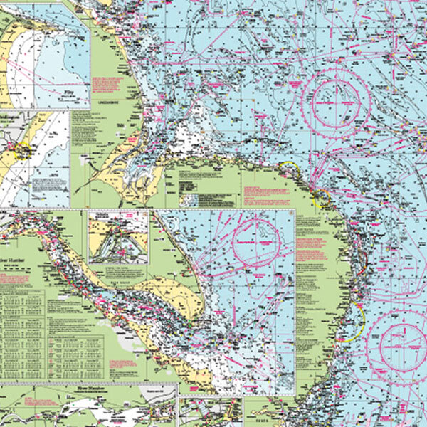
Start with the waters the chart must cover, then consider its scale. A chart that gives a useful overview of a longer passage may offer less detail for the final approach than a larger-scale chart of the harbour and surrounding area. The paper charts range includes charts and chart packs for different cruising areas, so it is worth checking the coverage of each publication rather than buying by a familiar place name alone.
At the chart table, a paper chart gives you space to follow the route, identify hazards and look beyond the next waypoint. It can sit alongside electronic navigation rather than being put away once a plotter is switched on. Charts and the information affecting them can change, so check the edition and relevant corrections or notices before relying on a printed copy for a passage.
It is also useful to think past your intended destination. If weather, tide or a change of plan takes you towards another harbour, do your references cover that approach as well? Looking at the adjoining area while planning ashore is easier than discovering a gap in coverage underway.
Working with tide times and tidal streams
Tides can shape the day well before the boat leaves its berth. The depth available at an entrance, the time needed to clear a shallow area and the stream around a headland can all affect the route and departure time. In tidal atlases and tables, look for the publication and area that match the waters you intend to use.
A tidal table and a tidal stream atlas answer related but different questions. Predictions for high and low water help with expected water levels at a stated location; a stream atlas helps show how the flow changes through the tidal cycle across an area. Neither removes the need to consider the weather and the conditions you find on the day. Together with a suitable chart and current local information, they give you a firmer basis for deciding when to go and when to wait.
Navigation Tools & Accessories
Books and charts provide information; the tools aboard help you use it. Some belong at the helm, others at the chart table, and a few are simply useful to have within reach when the view ahead raises a question. The navigation tools and accessories range covers equipment for observing, plotting and keeping track of conditions.
Finding a heading and making sense of what you see
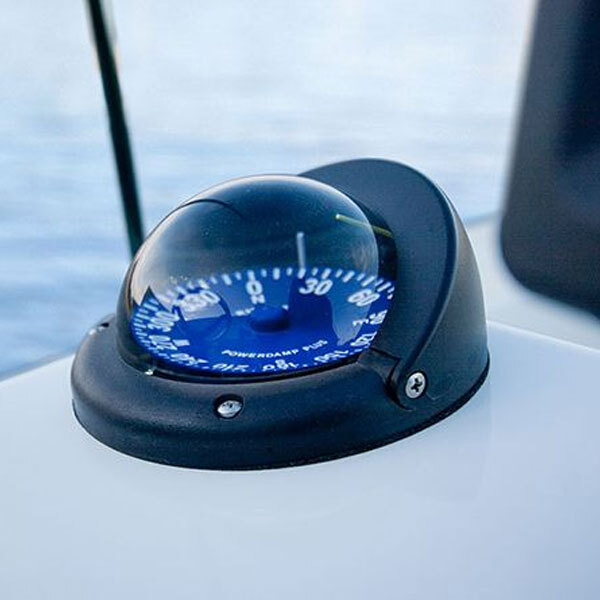
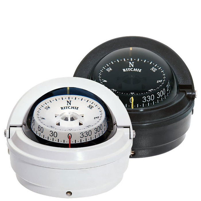
A boat compass gives you a heading without needing to open a screen. When choosing one, think about where it will be mounted and whether it will be easy to read from the steering position. An existing installation may also determine the size and fitting style that makes sense for a replacement.
Out on the water, binoculars and monoculars can help you look more closely at a buoy, landmark or harbour entrance before you reach it. Handling matters as much as the figures printed on the casing: consider how the instrument feels to hold and where it will be kept so it is available when needed. It remains one way to gather information, to be used with the chart, your position and the conditions around the boat.
Working at the chart table
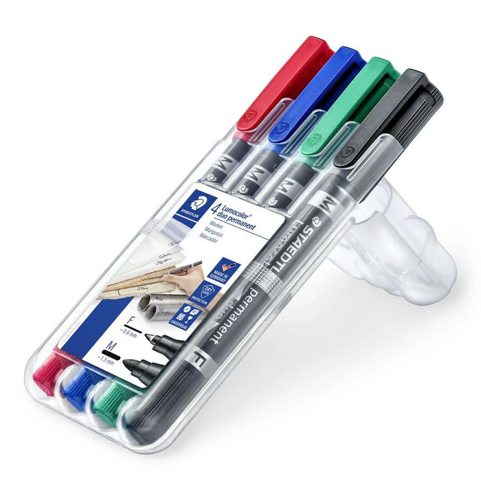
Plotting a route on paper calls for a few simple tools used carefully. The chart table instruments range includes plotting and divider equipment, pencils and chart-correcting supplies. These are useful both for preparing a passage and for following it as it develops. A marked course is a plan; making a note of where the boat actually is keeps that plan connected to the trip.
It helps to arrange the chart table so that the publication for the next stage, the plotting tools and somewhere to write are easy to find. On a small boat, that may be no more than a clear space and a few well-chosen items. What matters is being able to use them when the route changes, without unpacking the whole cabin to do it.
Time, pressure and other onboard observations
The clocks and barometers range includes nautical clocks, tide clocks and barometers. A clock helps keep passage notes and planned times clear; a barometer lets you observe changes in air pressure. Those observations are most useful alongside forecasts and the weather you can see, rather than as a forecast on their own.
Inclinometers provide a way to observe the boat’s angle of heel. They will be of more interest to some sailors than others, just as a tide clock may be especially useful to someone whose usual cruising ground is shaped by the tide. The best navigation kit reflects the boat and the waters it travels, with references that are current and tools the crew knows how to use.