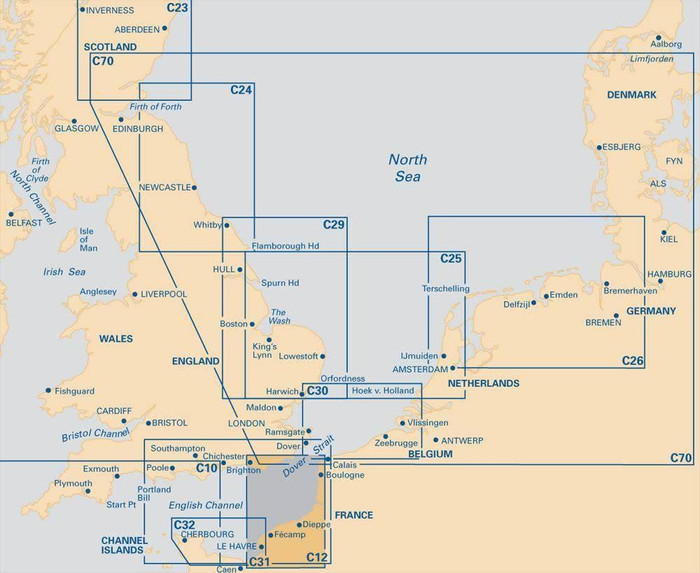
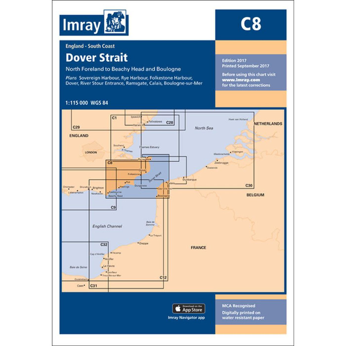





Imray's C8 Charts cover the whole Dover Strait, showing the English coast from Beachy Head to the North Foreland, and the French coast from Boulogne to Calais.
The charts are waterproof and folded in a plastic wallet.
Printed and corrected to September 2018.
Sheet Size: 787 x 1118mm.
Plans included:
Sovereign Harbour (1:20 000)
Rye Harbour (1:35 000)
Folkestone Harbour (1:10 000)
Dover (1:15 000)
River Stour Entrance (1:35 000)
Ramsgate (1:6500)
Calais (1:20 000)
Boulogne-sur-Mer (1:25 000)